Fort Assinniboine Historic District
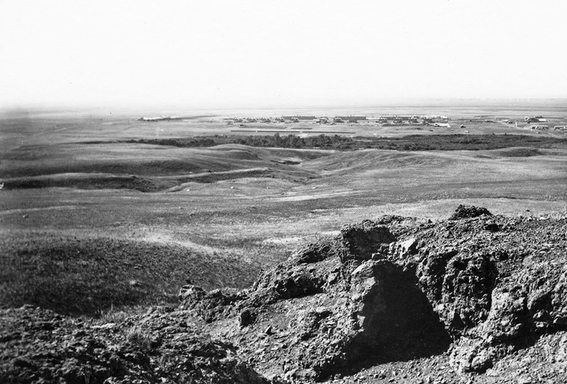
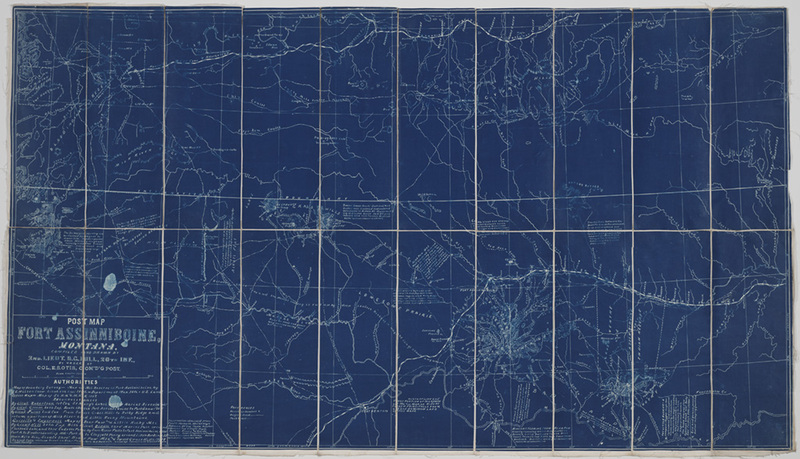
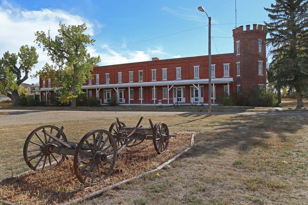
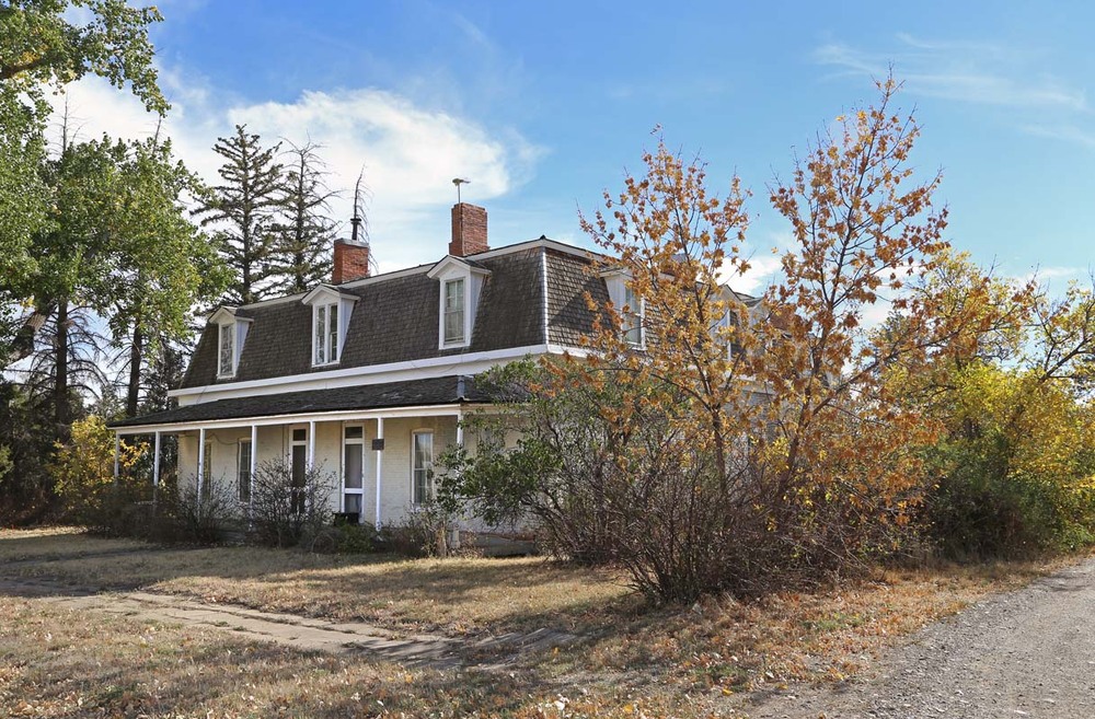
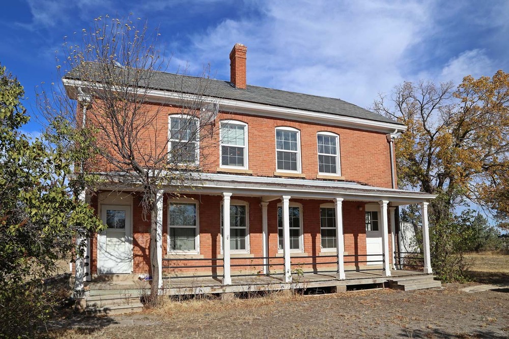
For centuries, Plains people hunted and gathered resources on both sides of today’s U.S./Canadian border. However, the border grew in significance after 1869 as both governments sought to control and contain Indigenous populations. During the 1870s and 1880s, tensions mounted as Canadian Cree and Métis (people of mixed Indigenous and European descent) fled to the U.S. after armed uprisings—organized to maintain control over their homeland—failed. Conflict also spiked in 1876-77 when Nez Perce and Lakota families, pursued by the U.S. military, fled into Canada seeking safety. In response, the U.S. government built Fort Assinniboine beginning in 1879. Soldiers and local civilians, including Métis people, constructed one of the largest posts ever built in the U.S. With the fort completed, soldiers deported Cree and Métis people and monitored cross-border immigration and trade. Removal efforts culminated when the all-Black 10th Cavalry enforced the 1896 Cree Deportation Act, which enabled ethnic cleansing of “Canadian Cree Indians.” The soldiers destroyed Cree, Chippewa, and Métis encampments, herded more than six-hundred people (including people born in the U.S.) onto train cars, and shipped them across the border to Canada. Many quickly returned home. The same troops later fought in the Spanish-American War. Changing political priorities led to the fort’s closure in 1911. The state purchased the buildings, establishing the Northern Agricultural Research Center in 1913. Congress allocated most of the land for grazing and 9,000 acres for Beaver Creek Park. In 1916, after a successful campaign by landless Chippewa and Cree leaders, 56,000 acres became Rocky Boy’s Indian Reservation.
Click here to tour the district.
Images