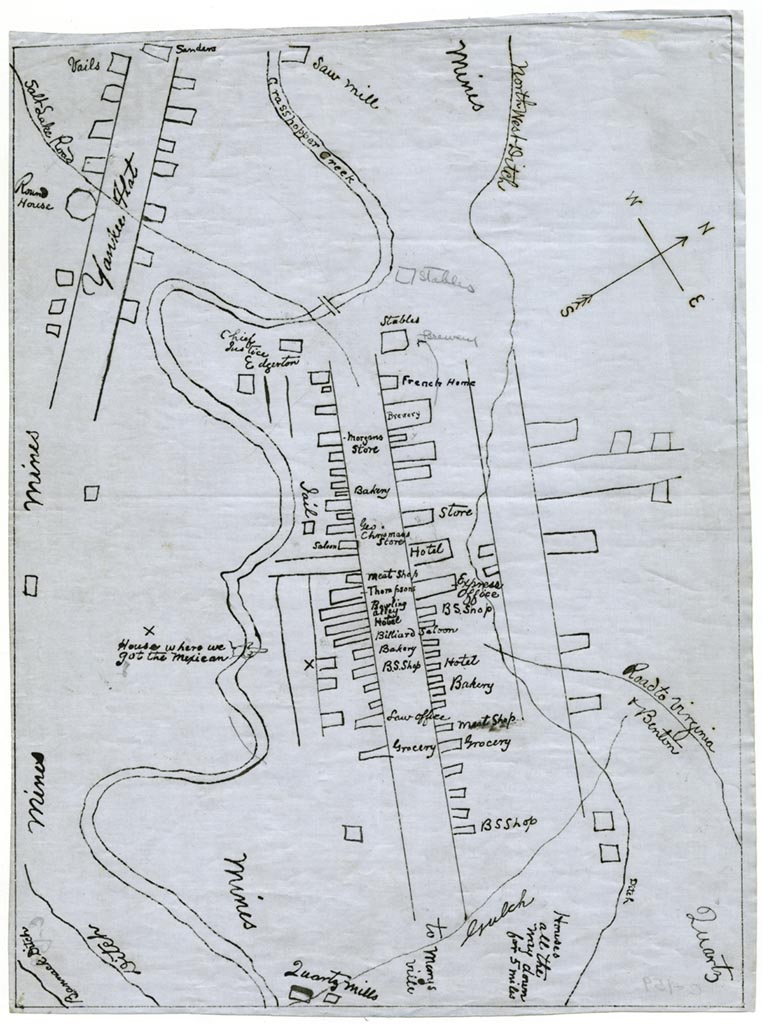
Sketch map was copied from a map owned by James U. Sanders, and includes some topography, streets and wagon roads, placer- and quartz-gold workings and mills, water-supply ditches, and buildings keyed to an accompanying list descriptive of historical events between 1863 and 1866. Additional lists provide supplemental information. Digitized copy available on the Montana History Portal. | Creator: Thompson, Francis M. | Date: 1864 | Source: Montana History Portal | Rights: Montana Historical SocietyDownload Original File